Like many other industries, construction is under increasing pressure to perform faster and more accurately. GIS technology has several use cases in construction inspections to help your business achieve these goals. It supports the digital transformation of construction workflows, streamlining operations, mitigating risks, and connecting team ...
Read more...
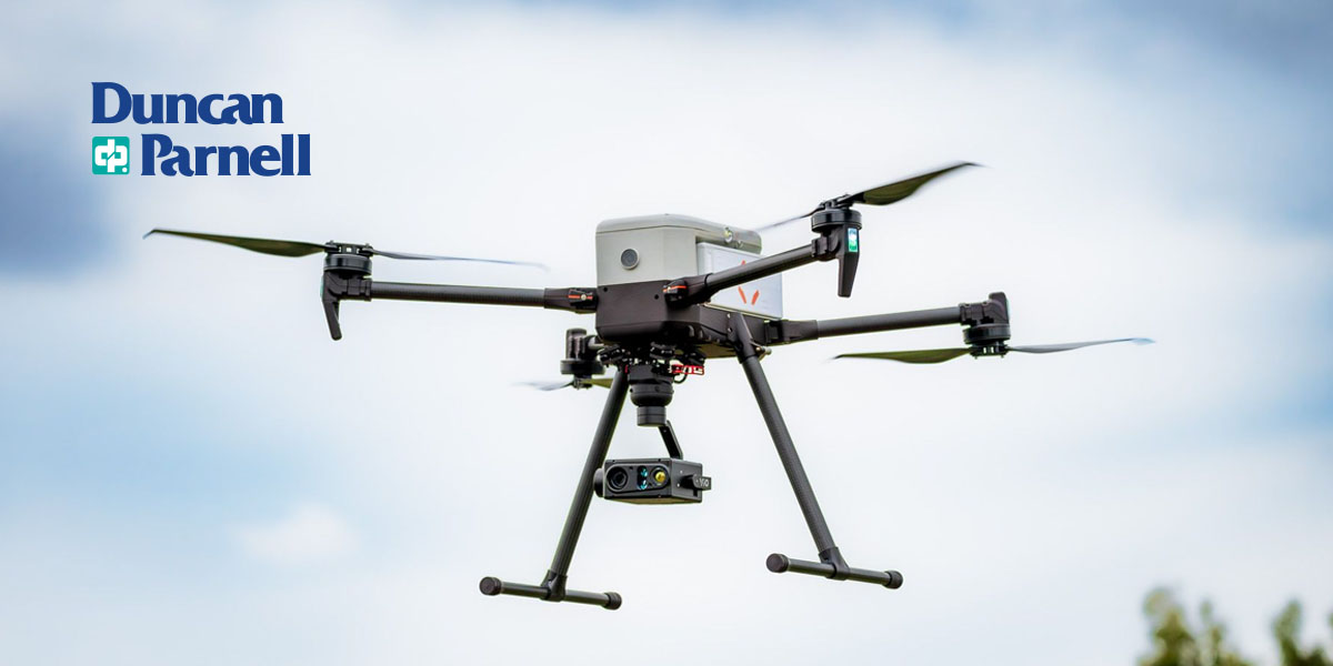
Duncan-Parnell partners with gNext to offer advanced drone inspection solutions, enhancing UAS investments and workflows for geospatial professionals...
Read more...
Federal and state laws regulate drone operations in the United States. These laws determine the permitted altitudes, weights, and flight times for drones and restrict drone flights in certain areas for privacy and security. If you're using drones for commercial use, it's important to note that commercial drone flights have more limitations. This ...
Read more...
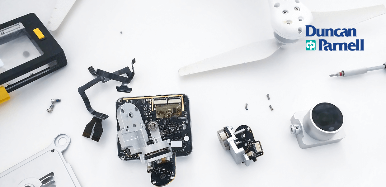
There are multiple characteristics to compare when making a purchasing decision. From payloads, altitudes, and endurance to cameras and accessories, there are plenty of features to consider...
Read more...
Mobile mapping technology simplifies surveying and mapping processes. They provide convenient and practical solutions like real-time data collection, processing, and analysis. The technology is more accurate than the traditional systems. Plus, they save time and money. This guide will discuss mobile mapping and its application in surveying...
Read more...
Across many industries, drones help businesses navigate tasks like inspecting, surveying, and monitoring construction progress. These devices provide a snapshot of areas to inform decision-making processes and have the power to streamline your operations. However, following drone safety guidelines and best practices is necessary for using drones ...
Read more...
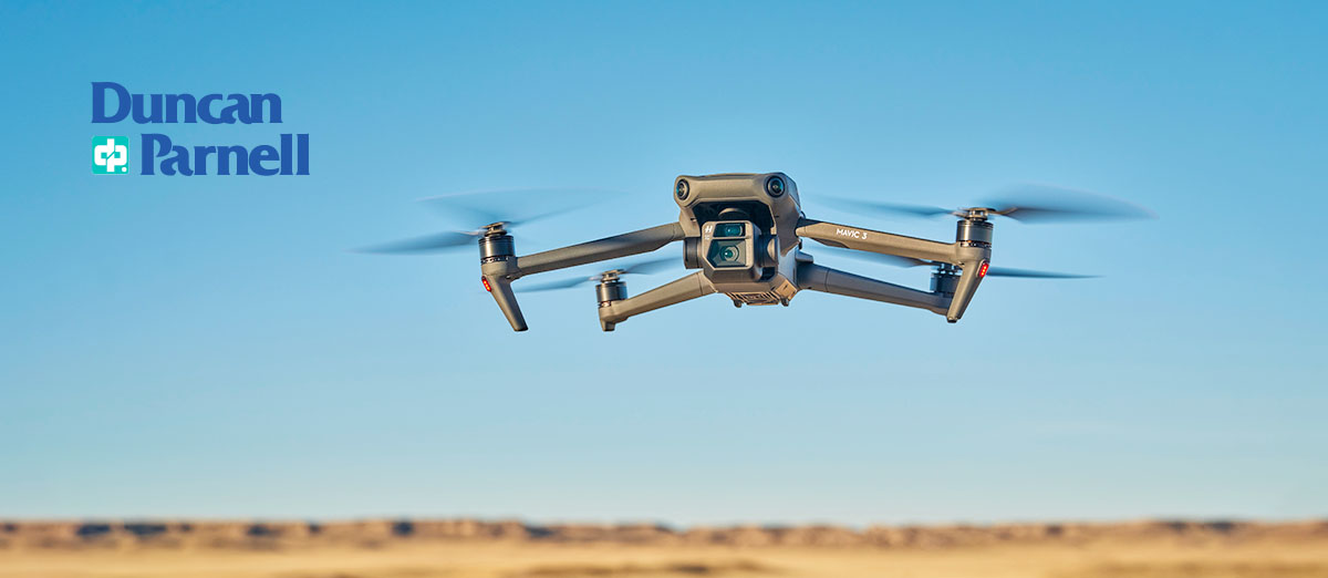
Drones, or unmanned aerial vehicles, benefit many industries. Though the technology is still relatively new, companies have embraced professional drones for tasks like inspection, construction, public safety, and mapping...
Read more...
In a short time, drones have gone from a hobbyist's novelty to a critical tool used daily across various industries. The Surveying and Mapping industry is no exception. Drones are rapidly transforming data collection, project management, and high-quality, impactful deliverables. Drones are vital to increasing the speed, accuracy, and safety of ...
Read more...
Section 179 offers a valuable tax deduction opportunity to recoup - via a 2023 tax benefit - some of the money spent on technology and capital equipment purchased and in service before the year's end. Reach out to learn how you can reduce you tax liability while upgrading essential equipment...
Read more...
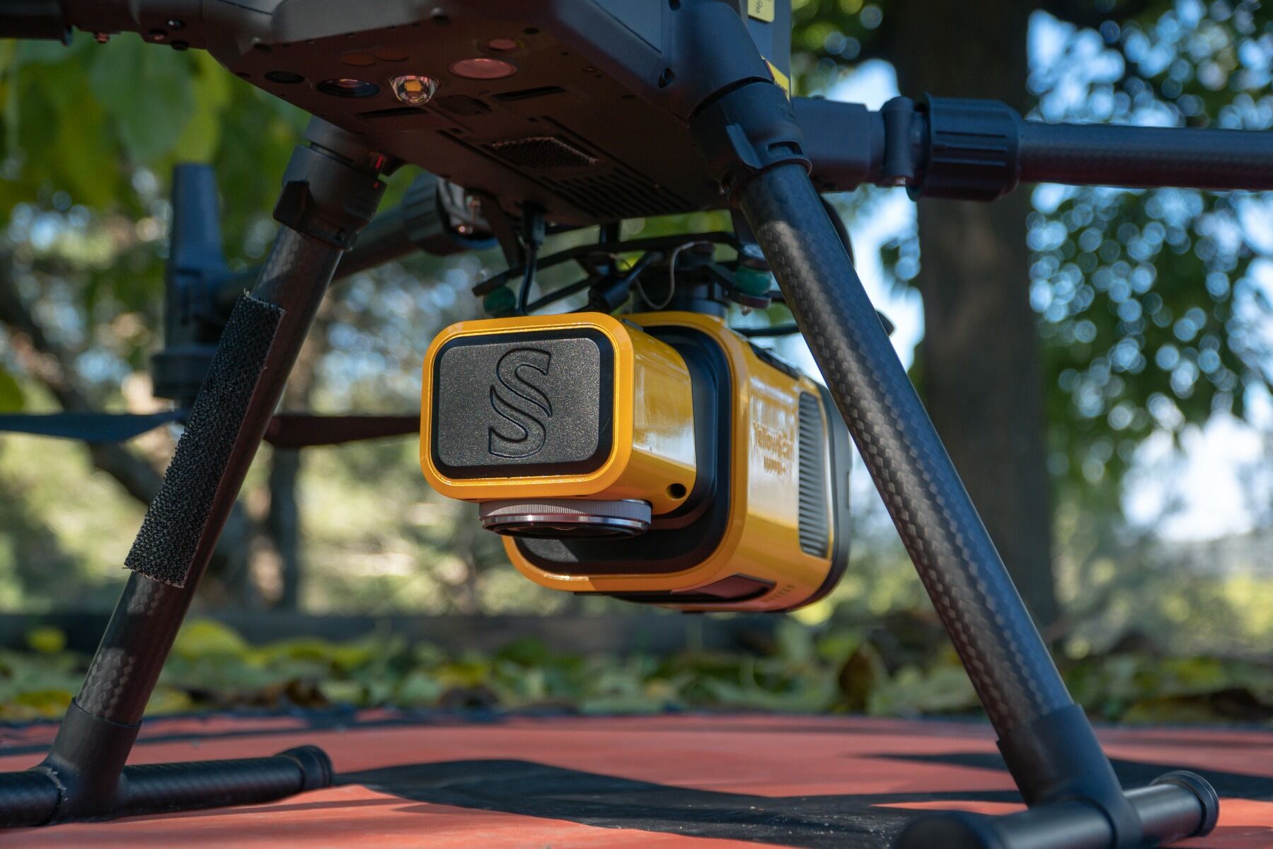
Duncan-Parnell has partnered with YellowScan to offer their cutting-edge LiDAR solutions. This collaboration will provide our customers in the Southeastern U.S. with expanded data acquisition tool options...
Read more...
 Like many other industries, construction is under increasing pressure to perform faster and more accurately. GIS technology has several use cases in construction inspections to help your business achieve these goals. It supports the digital transformation of construction workflows, streamlining operations, mitigating risks, and connecting team ...
Read more...
Like many other industries, construction is under increasing pressure to perform faster and more accurately. GIS technology has several use cases in construction inspections to help your business achieve these goals. It supports the digital transformation of construction workflows, streamlining operations, mitigating risks, and connecting team ...
Read more...
 Duncan-Parnell partners with gNext to offer advanced drone inspection solutions, enhancing UAS investments and workflows for geospatial professionals...
Read more...
Duncan-Parnell partners with gNext to offer advanced drone inspection solutions, enhancing UAS investments and workflows for geospatial professionals...
Read more...
 Federal and state laws regulate drone operations in the United States. These laws determine the permitted altitudes, weights, and flight times for drones and restrict drone flights in certain areas for privacy and security. If you're using drones for commercial use, it's important to note that commercial drone flights have more limitations. This ...
Read more...
Federal and state laws regulate drone operations in the United States. These laws determine the permitted altitudes, weights, and flight times for drones and restrict drone flights in certain areas for privacy and security. If you're using drones for commercial use, it's important to note that commercial drone flights have more limitations. This ...
Read more...
 There are multiple characteristics to compare when making a purchasing decision. From payloads, altitudes, and endurance to cameras and accessories, there are plenty of features to consider...
Read more...
There are multiple characteristics to compare when making a purchasing decision. From payloads, altitudes, and endurance to cameras and accessories, there are plenty of features to consider...
Read more...
 Mobile mapping technology simplifies surveying and mapping processes. They provide convenient and practical solutions like real-time data collection, processing, and analysis. The technology is more accurate than the traditional systems. Plus, they save time and money. This guide will discuss mobile mapping and its application in surveying...
Read more...
Mobile mapping technology simplifies surveying and mapping processes. They provide convenient and practical solutions like real-time data collection, processing, and analysis. The technology is more accurate than the traditional systems. Plus, they save time and money. This guide will discuss mobile mapping and its application in surveying...
Read more...
 Across many industries, drones help businesses navigate tasks like inspecting, surveying, and monitoring construction progress. These devices provide a snapshot of areas to inform decision-making processes and have the power to streamline your operations. However, following drone safety guidelines and best practices is necessary for using drones ...
Read more...
Across many industries, drones help businesses navigate tasks like inspecting, surveying, and monitoring construction progress. These devices provide a snapshot of areas to inform decision-making processes and have the power to streamline your operations. However, following drone safety guidelines and best practices is necessary for using drones ...
Read more...
 Drones, or unmanned aerial vehicles, benefit many industries. Though the technology is still relatively new, companies have embraced professional drones for tasks like inspection, construction, public safety, and mapping...
Read more...
Drones, or unmanned aerial vehicles, benefit many industries. Though the technology is still relatively new, companies have embraced professional drones for tasks like inspection, construction, public safety, and mapping...
Read more...
 In a short time, drones have gone from a hobbyist's novelty to a critical tool used daily across various industries. The Surveying and Mapping industry is no exception. Drones are rapidly transforming data collection, project management, and high-quality, impactful deliverables. Drones are vital to increasing the speed, accuracy, and safety of ...
Read more...
In a short time, drones have gone from a hobbyist's novelty to a critical tool used daily across various industries. The Surveying and Mapping industry is no exception. Drones are rapidly transforming data collection, project management, and high-quality, impactful deliverables. Drones are vital to increasing the speed, accuracy, and safety of ...
Read more...
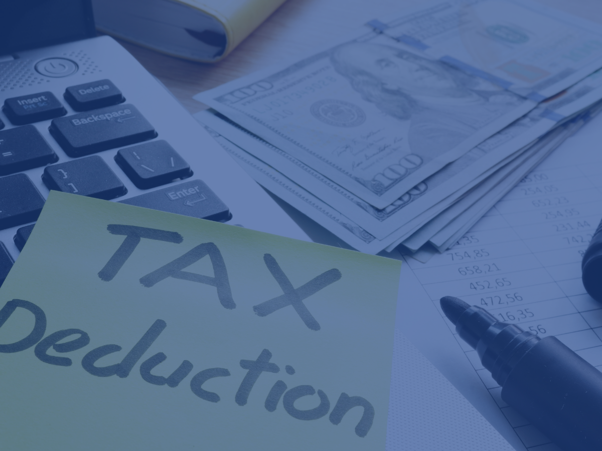 Section 179 offers a valuable tax deduction opportunity to recoup - via a 2023 tax benefit - some of the money spent on technology and capital equipment purchased and in service before the year's end. Reach out to learn how you can reduce you tax liability while upgrading essential equipment...
Read more...
Section 179 offers a valuable tax deduction opportunity to recoup - via a 2023 tax benefit - some of the money spent on technology and capital equipment purchased and in service before the year's end. Reach out to learn how you can reduce you tax liability while upgrading essential equipment...
Read more...
 Duncan-Parnell has partnered with YellowScan to offer their cutting-edge LiDAR solutions. This collaboration will provide our customers in the Southeastern U.S. with expanded data acquisition tool options...
Read more...
Duncan-Parnell has partnered with YellowScan to offer their cutting-edge LiDAR solutions. This collaboration will provide our customers in the Southeastern U.S. with expanded data acquisition tool options...
Read more...