Ground Penetrating Radar
Capture the Subsurface with the Latest Mapping Equipment
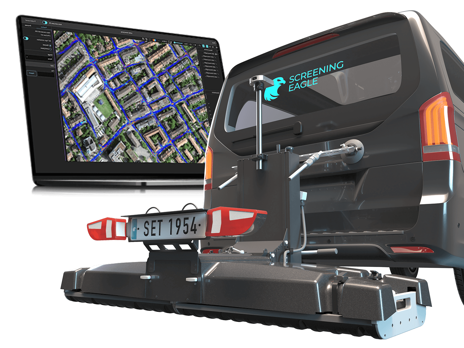
Ground penetrating radar (GPR) is a non-intrusive method of surveying the subsurface. There are many applications for this equipment including: utility locating & mapping, investigation of pavement & bridge decks, damage prevention, surveying & reality capture, road & bridge inspection, geophysical investigations, forensics, archaeology, precision agriculture, and more.
It's estimated that $30 billion dollars per year is spent on accidental utility strikes in the U.S. alone – maintaining the latest equipment for digitizing and mapping the subsurface is a great way to save on that cost.
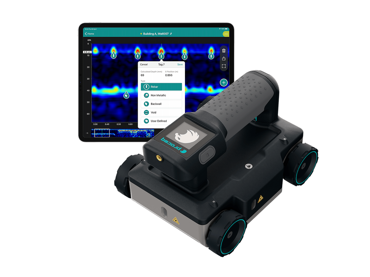
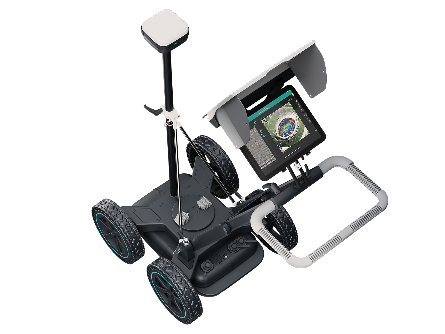
Offers several subsurface mapping products including the GM800, GS9000, GP8000, and the GS8000 Pro. Follow the links below to learn more.
Versatility meets efficiency.
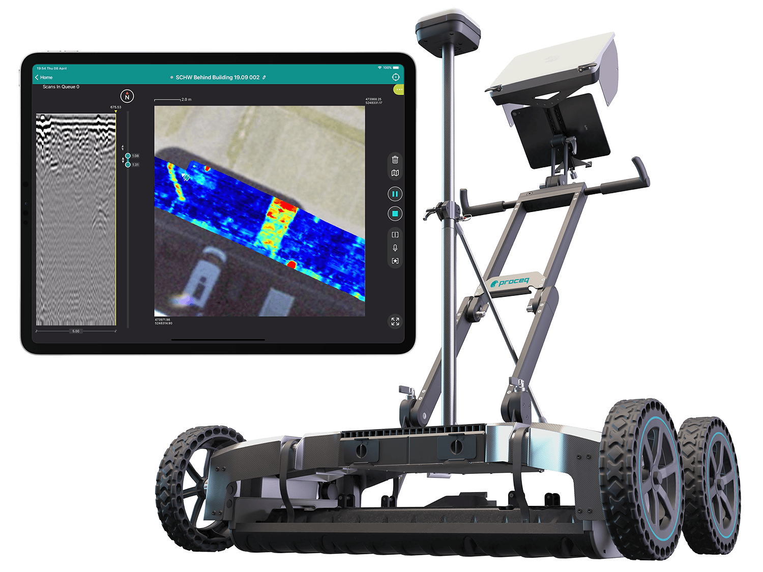
multichannel GPR system with real-time 3D visualization: GS9000
Software
The software is included for 2 years with purchase. To renew your software subscription, please contact us.