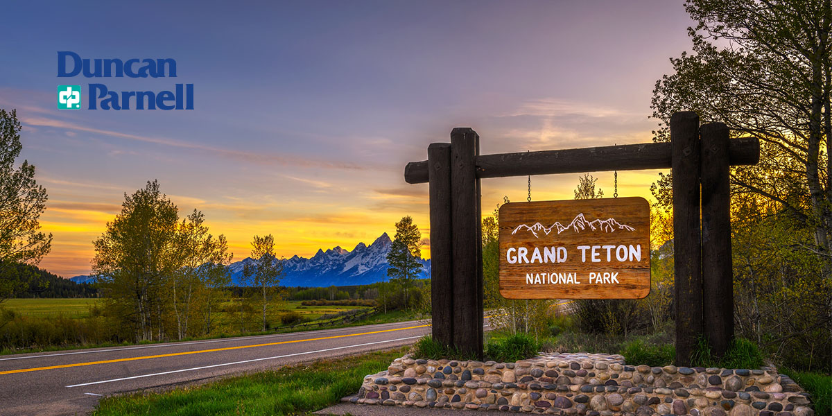
Like many other industries, construction is under increasing pressure to perform faster and more accurately. GIS technology has several use cases in construction inspections to help your business achieve these goals. It supports the digital transformation of construction workflows, streamlining operations, mitigating risks, and connecting team ...
Read more...
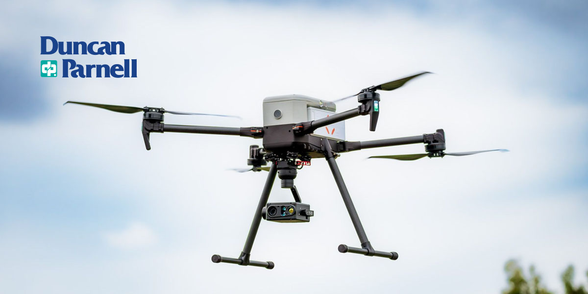
Duncan-Parnell partners with gNext to offer advanced drone inspection solutions, enhancing UAS investments and workflows for geospatial professionals...
Read more...
Federal and state laws regulate drone operations in the United States. These laws determine the permitted altitudes, weights, and flight times for drones and restrict drone flights in certain areas for privacy and security. If you're using drones for commercial use, it's important to note that commercial drone flights have more limitations. This ...
Read more...
There are multiple characteristics to compare when making a purchasing decision. From payloads, altitudes, and endurance to cameras and accessories, there are plenty of features to consider...
Read more...
Mobile mapping technology simplifies surveying and mapping processes. They provide convenient and practical solutions like real-time data collection, processing, and analysis. The technology is more accurate than the traditional systems. Plus, they save time and money. This guide will discuss mobile mapping and its application in surveying...
Read more...
Businesses must consider sustainability in every choice they make, and signage presents the perfect opportunity to do so. From the sign's materials to printing inks, businesses have ample chances to create eco-friendly custom signs that increase brand awareness and provide vital information. Use the materials and considerations in this guide to ...
Read more...
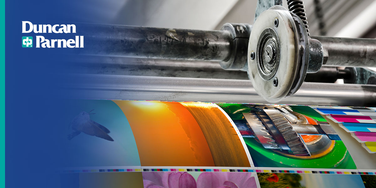
There are different types of printers for various applications. These printers can be categorized into three — production, technical, and wide-format. Each has unique features which inform your decision when making a purchase. In this guide, you'll learn about the three popular printer types and how they compare...
Read more...
Across many industries, drones help businesses navigate tasks like inspecting, surveying, and monitoring construction progress. These devices provide a snapshot of areas to inform decision-making processes and have the power to streamline your operations. However, following drone safety guidelines and best practices is necessary for using drones ...
Read more...
Integrating new trends in your signage is an effective way to showcase your business as a market leader. Whether you're interested in sustainable signs or leveraging emerging signage technologies, there are some exciting trends to implement over the coming year...
Read more...
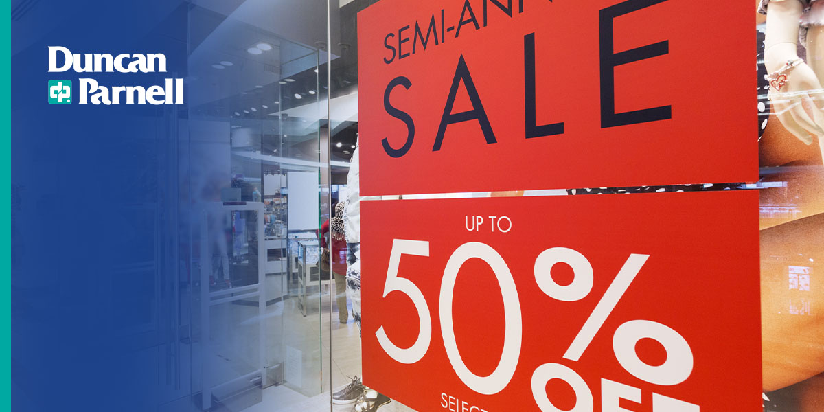
Quality signage boosts your brand awareness, connects with your audience, and communicates your marketing message. However, there are several factors to consider when preparing a graphic for print. From choosing the best resolution for your graphic design to optimizing your bleed, our guide will help you discover the best tips before printing ...
Read more...
 Like many other industries, construction is under increasing pressure to perform faster and more accurately. GIS technology has several use cases in construction inspections to help your business achieve these goals. It supports the digital transformation of construction workflows, streamlining operations, mitigating risks, and connecting team ...
Read more...
Like many other industries, construction is under increasing pressure to perform faster and more accurately. GIS technology has several use cases in construction inspections to help your business achieve these goals. It supports the digital transformation of construction workflows, streamlining operations, mitigating risks, and connecting team ...
Read more...
 Duncan-Parnell partners with gNext to offer advanced drone inspection solutions, enhancing UAS investments and workflows for geospatial professionals...
Read more...
Duncan-Parnell partners with gNext to offer advanced drone inspection solutions, enhancing UAS investments and workflows for geospatial professionals...
Read more...
 Federal and state laws regulate drone operations in the United States. These laws determine the permitted altitudes, weights, and flight times for drones and restrict drone flights in certain areas for privacy and security. If you're using drones for commercial use, it's important to note that commercial drone flights have more limitations. This ...
Read more...
Federal and state laws regulate drone operations in the United States. These laws determine the permitted altitudes, weights, and flight times for drones and restrict drone flights in certain areas for privacy and security. If you're using drones for commercial use, it's important to note that commercial drone flights have more limitations. This ...
Read more...
 There are multiple characteristics to compare when making a purchasing decision. From payloads, altitudes, and endurance to cameras and accessories, there are plenty of features to consider...
Read more...
There are multiple characteristics to compare when making a purchasing decision. From payloads, altitudes, and endurance to cameras and accessories, there are plenty of features to consider...
Read more...
 Mobile mapping technology simplifies surveying and mapping processes. They provide convenient and practical solutions like real-time data collection, processing, and analysis. The technology is more accurate than the traditional systems. Plus, they save time and money. This guide will discuss mobile mapping and its application in surveying...
Read more...
Mobile mapping technology simplifies surveying and mapping processes. They provide convenient and practical solutions like real-time data collection, processing, and analysis. The technology is more accurate than the traditional systems. Plus, they save time and money. This guide will discuss mobile mapping and its application in surveying...
Read more...
 Businesses must consider sustainability in every choice they make, and signage presents the perfect opportunity to do so. From the sign's materials to printing inks, businesses have ample chances to create eco-friendly custom signs that increase brand awareness and provide vital information. Use the materials and considerations in this guide to ...
Read more...
Businesses must consider sustainability in every choice they make, and signage presents the perfect opportunity to do so. From the sign's materials to printing inks, businesses have ample chances to create eco-friendly custom signs that increase brand awareness and provide vital information. Use the materials and considerations in this guide to ...
Read more...
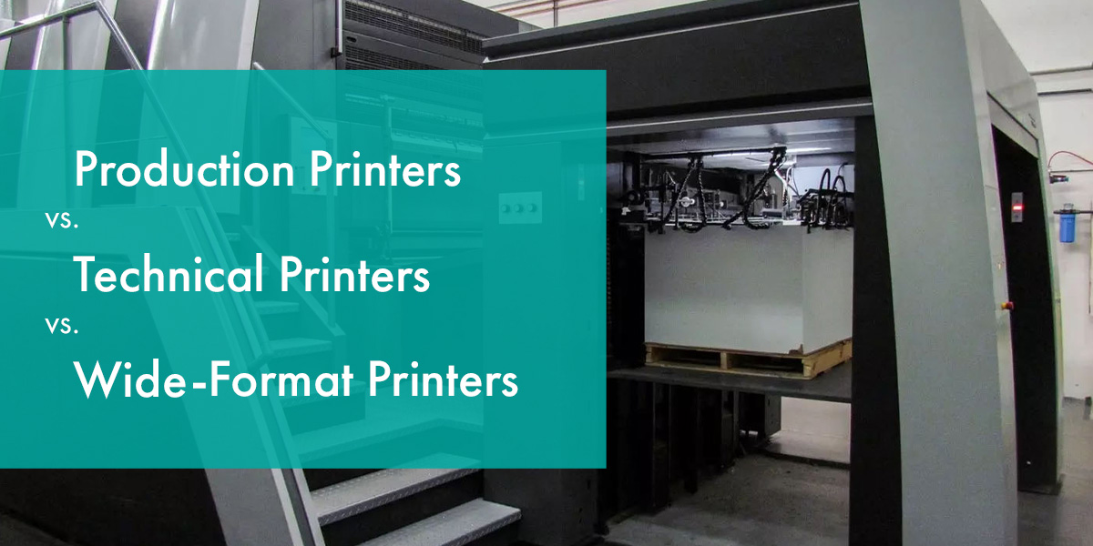 There are different types of printers for various applications. These printers can be categorized into three — production, technical, and wide-format. Each has unique features which inform your decision when making a purchase. In this guide, you'll learn about the three popular printer types and how they compare...
Read more...
There are different types of printers for various applications. These printers can be categorized into three — production, technical, and wide-format. Each has unique features which inform your decision when making a purchase. In this guide, you'll learn about the three popular printer types and how they compare...
Read more...
 Across many industries, drones help businesses navigate tasks like inspecting, surveying, and monitoring construction progress. These devices provide a snapshot of areas to inform decision-making processes and have the power to streamline your operations. However, following drone safety guidelines and best practices is necessary for using drones ...
Read more...
Across many industries, drones help businesses navigate tasks like inspecting, surveying, and monitoring construction progress. These devices provide a snapshot of areas to inform decision-making processes and have the power to streamline your operations. However, following drone safety guidelines and best practices is necessary for using drones ...
Read more...
 Integrating new trends in your signage is an effective way to showcase your business as a market leader. Whether you're interested in sustainable signs or leveraging emerging signage technologies, there are some exciting trends to implement over the coming year...
Read more...
Integrating new trends in your signage is an effective way to showcase your business as a market leader. Whether you're interested in sustainable signs or leveraging emerging signage technologies, there are some exciting trends to implement over the coming year...
Read more...
 Quality signage boosts your brand awareness, connects with your audience, and communicates your marketing message. However, there are several factors to consider when preparing a graphic for print. From choosing the best resolution for your graphic design to optimizing your bleed, our guide will help you discover the best tips before printing ...
Read more...
Quality signage boosts your brand awareness, connects with your audience, and communicates your marketing message. However, there are several factors to consider when preparing a graphic for print. From choosing the best resolution for your graphic design to optimizing your bleed, our guide will help you discover the best tips before printing ...
Read more...