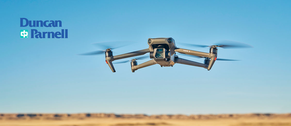
Work Smarter with Microdrones: End-to-End UAV Solutions to Improve Your Workflows
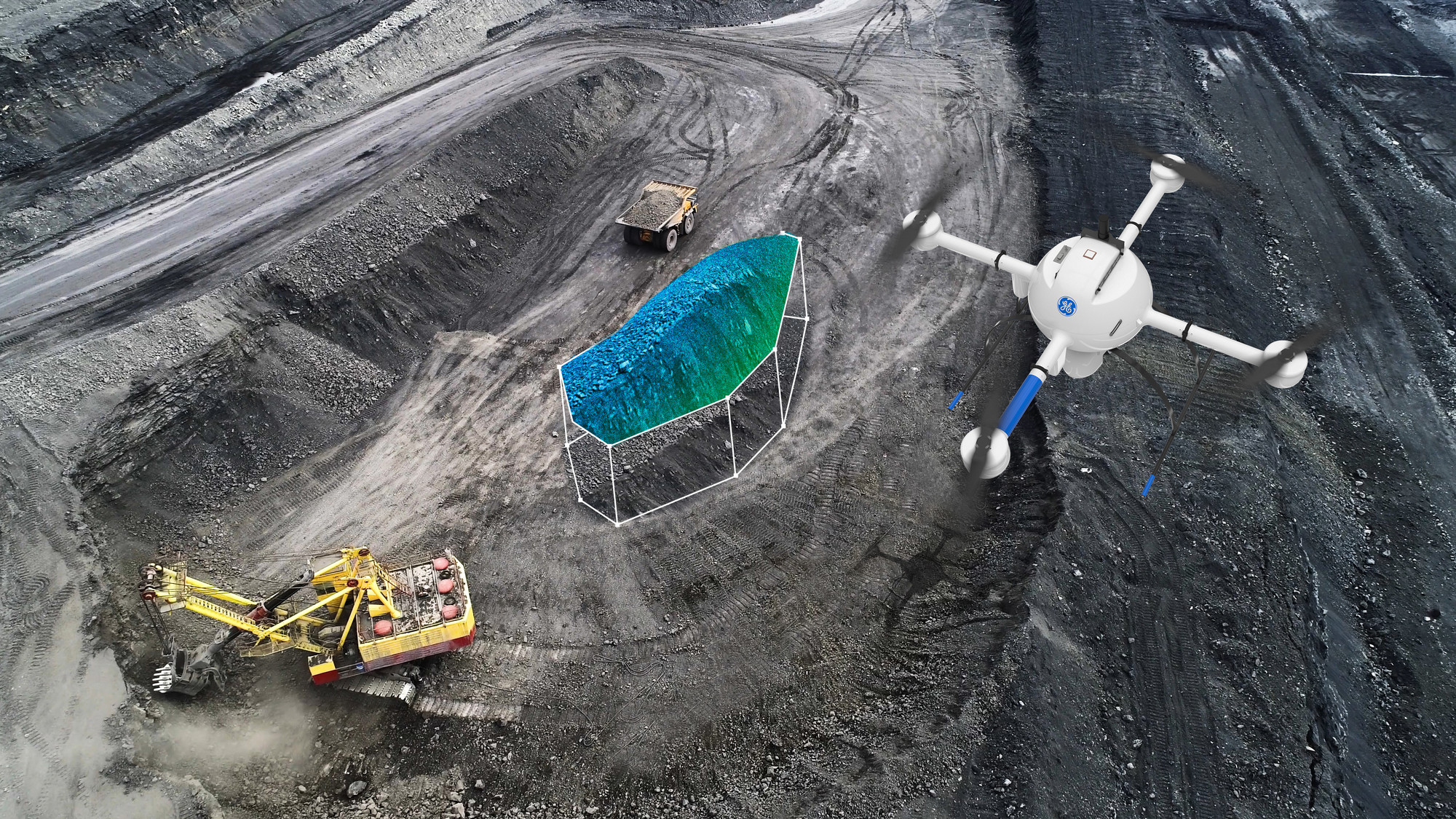
Microdrones industry-leading UAV systems are designed with surveying workflows in mind. End-to-end LiDAR solutions combine drones, LiDAR and photogrammetry payloads with a fully integrated software workflow optimized for land surveying. In this on-demand webinar we cover how these industry-leading UAV systems enable you to capture ultra-dense LiDAR data quickly and safely - even in areas of high vegetation.
Microdrones provides an easy and comprehensive way to introduce aerial surveying into your workflows with a low upfront investment and flexible data processing options. We're joined by experts from Microdrones to discuss:
- GE Industrial Drone line
- End-to-end workflows: Plan > Fly > Process > Visualize
- Creating flight projects in mdCockpit software
- Data processing with Trimble Business Center
Related Posts
-
 GIS & Mapping Webinar Series: Asset Tools & Innovations
On-Demand Webinars
GIS & Mapping Webinar Series: Asset Tools & Innovations
On-Demand Webinars -
 Trimble Automated Monitoring: Best Practices & Lessons Learned
On-Demand Webinar
Trimble Automated Monitoring: Best Practices & Lessons Learned
On-Demand Webinar -
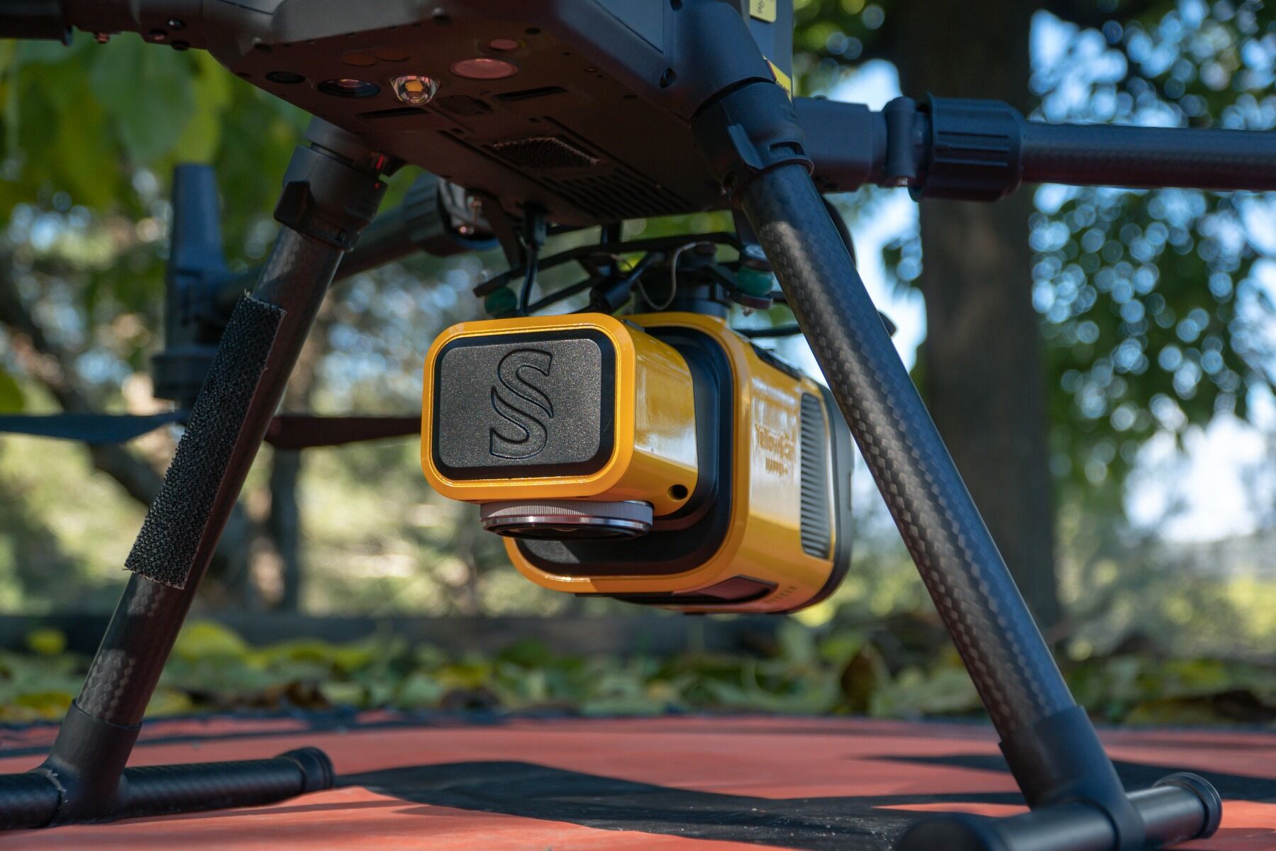 Duncan-Parnell Partners with YellowScan to Expand Customer Access to Cutting-Edge LiDAR Solutions
Duncan-Parnell has partnered with YellowScan to offer their cutting-edge LiDAR solutions. This collaboration will provide our customers in the Southeastern U.S. with expanded data acquisition tool options.
Duncan-Parnell Partners with YellowScan to Expand Customer Access to Cutting-Edge LiDAR Solutions
Duncan-Parnell has partnered with YellowScan to offer their cutting-edge LiDAR solutions. This collaboration will provide our customers in the Southeastern U.S. with expanded data acquisition tool options. -
 The Role of Drones in Surveying and Mapping
In a short time, drones have gone from a hobbyist's novelty to a critical tool used daily across various industries. The Surveying and Mapping industry is no exception. Drones are rapidly transforming data collection, project management, and high-qua
The Role of Drones in Surveying and Mapping
In a short time, drones have gone from a hobbyist's novelty to a critical tool used daily across various industries. The Surveying and Mapping industry is no exception. Drones are rapidly transforming data collection, project management, and high-qua