McLeod Plantation: Documenting the Trans-Atlantic Slave Trade
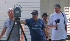


Trimble has recently teamed up with CyArk.org to digitally document historic sites related to the Trans-Atlantic Slave Trade between Western Africa and the Americas. The hope is to “create a lasting record which tells the complex and harrowing stories of the Atlantic Slave Trade through a new 3D lens.” CyArk is an international, non-profi t organization with the mission of using new technologies to create a free, 3D online library of the world’s cultural heritage sites before they are lost. The McLeod Plantation is one such site. Established in 1851 and located on James Island, SC, just outside of Charleston, it is a 37-acre heritage site that has been carefully preserved in recognition of its cultural and historical significance. Chuck Drouillard and Eric Fines of Duncan-Parnell recently assisted Trimble in scanning, surveying and mapping the plantation as part of a combined effort to educate middle and high school students worldwide about the slave trade. Working alongside Trimble, educators and plantation staff volunteers Chuck and Eric helped collect the correct data needed. In addition to CyArk.org Trimble has also partnered with Impact On Education, a Boulder, CO area educational foundation, to create a surveyed map and 3D models of a slave plantation where the students can wear virtual reality headsets and experience it in 3D. Several of the cabins were scanned and modeled as well as other parts of the grounds.
Duncan-Parnell donated the use of a Trimble TX8 3D Laser Scanner coupled with the Nodal Ninja Camera Mount to not only scan the scenes and structures accurately, but also overlay digital photos to the scans to bring them to life. Also used was a Trimble V10 as well as an S7 Vision Robotic Total Station and R10 GNSS unit. DPI technicians mapped and surveyed over a two-day period to capture the data sets. Trimble technicians are now actively assembling the data in 3D and are working with the educators to develop course-ware and tools to use in classrooms.

-
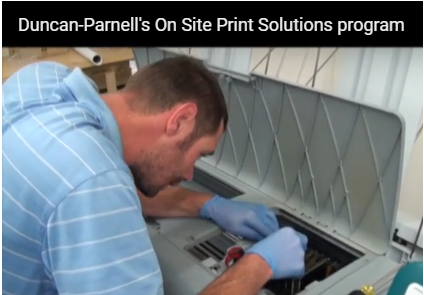 What engineering firm, Seamon Whiteside, thinks about Duncan-Parnell's OSPS program
This short video explains the OSPS program and how it has helped this firm stay ahead of the curve.
What engineering firm, Seamon Whiteside, thinks about Duncan-Parnell's OSPS program
This short video explains the OSPS program and how it has helped this firm stay ahead of the curve. -
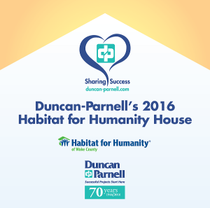 Duncan-Parnell sponsors 2nd Habitat House build in Raleigh, NC
-
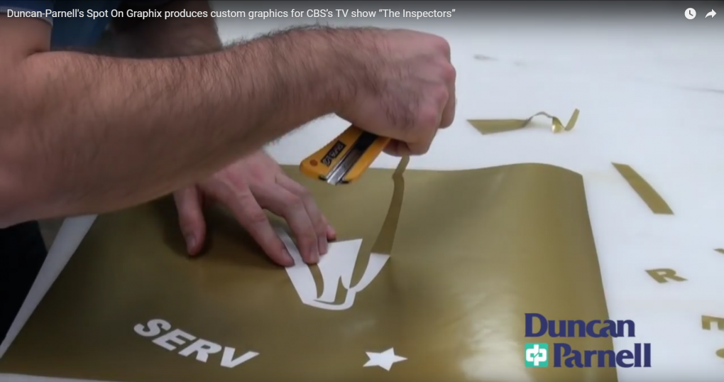 Duncan-Parnell produces custom graphics for CBS’s TV show “The Inspectors”
-
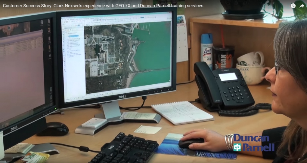 Clark Nexsen experience with GEO 7X and Duncan-Parnell training services
GIS Analyst Deborah Huber discusses how utilizing advanced technology from Trimble and Duncan-Parnell, Clark Nexsen realized a quicker return on investment.
Clark Nexsen experience with GEO 7X and Duncan-Parnell training services
GIS Analyst Deborah Huber discusses how utilizing advanced technology from Trimble and Duncan-Parnell, Clark Nexsen realized a quicker return on investment.