Unmanned Aerial Vehicles
Using drones is an efficient and cost-effective strategy to optimize your project timelines. These unmanned aerial vehicles (UAV) are remotely controlled to cover large acreages in various situations, from everyday surveying to dangerous inspection environments. This advanced technology comes in many shapes, sizes, and capabilities.
Duncan-Parnell is a dealer of dependable drone surveying solutions. We have established a reputation for providing an exceptional customer experience, trusted by engineers, contractors, surveyors, and architects across the Southeastern United States.
Streamline Your Workflow with Drones
![]()

![]()
Duncan-Parnell has partnered with the leading drone manufacturers to provide you with an easy and comprehensive way to introduce aerial surveying into your workflows.
We offer industry-leading UAV systems, including DJI, Wingtra, Quantum-Systems, Parrot, YellowScan, and Inspired Flight along with the payloads, software, accessories, and the support you need to succeed in the field. Follow the links below to explore the brands we offer.
Wingtra
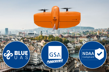
Wingtra is the world's leading VTOL drone producer for mapping and surveying. Their WingtraOne GEN II drone carries best-in-class sensors that collect survey-grade aerial data and is Blue UAS Certified, NDAA Compliant, and GSA Approved – delivering the highest standards of quality.
DJI
DJI products are redefining industries. Professionals in surveying, mapping, inspection, public safety, energy infrastructure, and more trust DJI to bring new perspectives to their work and help them accomplish feats safer, faster, and with greater efficiency than ever before.
Inspired Flight
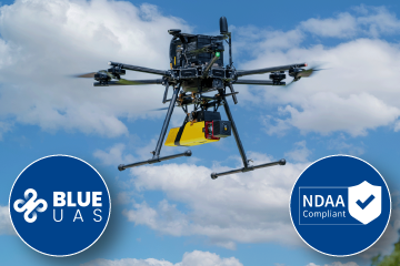
Inspired Flight’s entirely U.S.-based team designs, builds, and supports highly capable and agile UAS platforms. Selected to the US Government’s Blue sUAS program, as well as NDAA Compliant, their solutions are perfect for use in a variety of industries. They focus on American-made products.
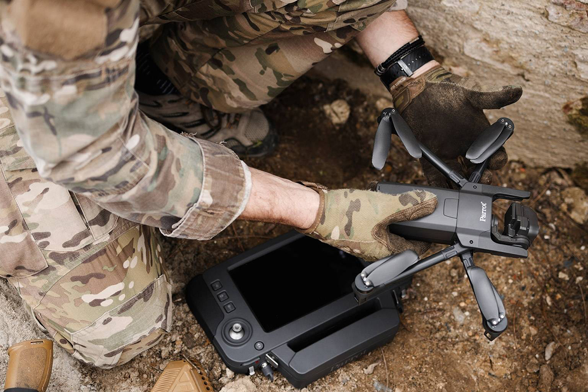
Parrot
Parrot is an innovative, leading drone manufacturer that provides best-in-class technology for inspection, first responders, firefighters, search-and-rescue teams, security agencies, and surveying professionals. With their 4G, drone users do not encounter any interference issues.
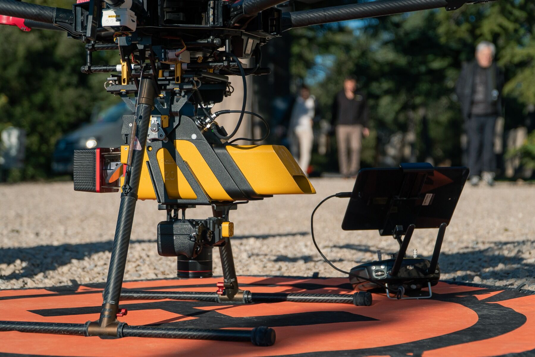
YellowScan
YellowScan is a global leader in LiDAR surveying solutions. Their complete hardware and software solutions deliver performance, robustness, and accuracy and are used in various sectors such as surveying, forestry, archaeology, industrial inspection, civil engineering, and mining.
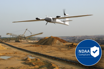
Quantum-Systems
Quantum Systems’ NDAA Compliant eVTOL fixed-wing sUAS unite the convenient handling of a multi-rotor drone with the efficient aerodynamics of an airplane. No runway or extra equipment is needed for take-off or landing.
Applications for Commercial Drones
Drones are innovative tools used by numerous sectors to collect crucial information from the air. The use of these commercial drones ensures precise measurement of a geographical area when surveying land or agriculture, public safety, or other applications. There are also specific types of surveying drones and mapping drones.
Aside from cameras, drones can be equipped with various sensors to collect thousands of measurements and data points. For example, a drone with a long-range LiDAR sensor ensures accuracy in distance measurements to create detailed 3D models. The possibilities are endless with LiDAR-based drones with options to see at night, interpret depth, and create detailed maps.
While they are relatively new, more and more companies are using drones to support their operations and collect vital information. Some applications for professional drones include:
- Surveying and mapping
- Public safety/collision reconstruction/forensics
- Construction
- Inspection
- Energy/utilities
- Forestry - contact Brian Holley via email: [email protected]
Meet Our Team

Chris Breedlove, Reality Capture Specialist
Chris joined Duncan-Parnell after almost a decade in city planning and asset management. Chris’ time spent in the field gives him special insight into how mobile mapping and UAV solutions can be used for asset management, topographic surveying, and many other mapping applications. A GISP and FAA Part 107 Remote Pilot Certificate holder, Chris enjoys helping mapping professionals find the best field-to-finish workflows to enhance their business.

Hansel Brand, Reality Capture Specialist
Hansel joined Duncan-Parnell after 20 years as a FAA certified flight instructor, instructing in both single and multiengine aircraft, and regularly keeps in touch with his students who have found success in both private and commercial aviation. He has carried that passion for aviation to the UAS field and looks forward to helping customers use this new technology to solve their company's needs.
Why Purchase Your Drones from Duncan-Parnell?
Duncan-Parnell is your one-stop shop for high-quality UAV hardware and software. We stock the best drone technology to bring you the latest construction surveillance and inspection features. Our service starts before you purchase your drone and lasts long after completion with our after-sale technical support and maintenance offerings.
Our trained professionals care about your business, and do everything they can do to make drone shopping seamless for you. We operate out of 18 locations spread throughout the Southeastern United States, ensuring you have access to the services you need. We will learn about your needs and goals before walking you through our options to help you select the right choice for your application. Here is what you can expect from us:
- Friendly service from trained experts
- Competitive edge by keeping tabs on industry trends
- A variety of options and configurations to meet your needs
Custom Solutions for Your Business
No organization is the same, from how long you have been in business to the equipment you use. At Duncan-Parnell, we recognize your individuality and aspire to supply you with top-of-the-line technology and gear, regardless of these differences. We offer numerous payment methods and supply customized payment structures through our partnerships with manufacturers and third-party financing companies for 6-, 12-, and 24-month payment plans.
Whether you work on a short-term project or plan on using a piece of equipment infrequently and purchasing does not make financial sense, Duncan-Parnell will provide a competitively priced rental. We offer daily, weekly, and monthly rental terms for many of our geospatial, surveying, and mapping equipment solutions. These rentals depend on availability, but our staff can help you find the best tools from leading brands at prices you can be confident in.