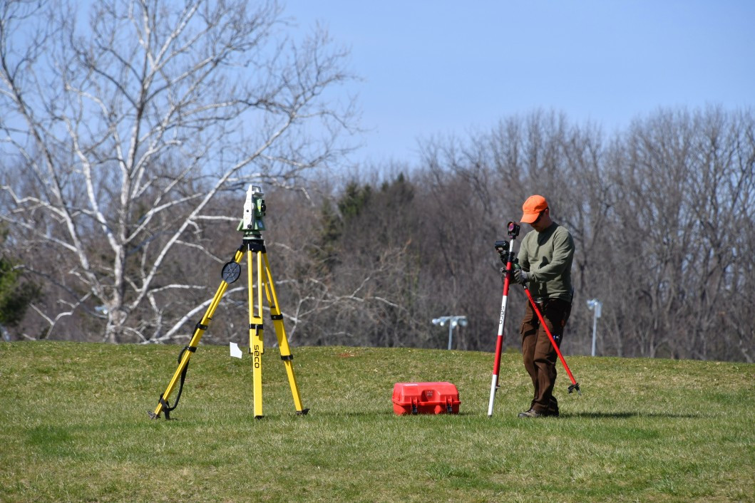
How Is 3D Laser Scanning Used in Land Surveying?
Leading land surveyors around the world have been using laser scanners for years, taking advantage of the benefits they have to offer. 3D laser scanner surveying immediately enhances data collection and project outcome. Problems that surveyors faced for years before they could access 3D scanning in their work fell away due to this technology, and improvements are made year after year to consistently keep 3D laser scanners on the leading edge.
3D laser scanning isn’t new to the land-surveying industry, but new models are still changing and improving the way surveyors work. Read on to learn specifics about each area of improvement you can expect by switching to this process if you haven’t already.
Faster Operations
Companies that opt into 3D laser scanner surveying immediately see a reduction in the time it takes to survey land and collect data. This equipment has reduced fieldwork time by 50-70 percent. Outdated methods could take days or weeks, while a 3D laser scanning process often takes as little as a single day. More modern model releases like the TX8 offer exceptionally high speeds.
Higher Accuracy
The increased speed doesn’t come with a sacrifice to range or accuracy, either. 3D laser mapping equipment produces the most accurate data available today, with exact details for maps, drawings, models, planning and more. The precision of these machines is so advanced that it can even show the way the sun hits certain areas of the land. Models like the Trimble® TX8, among others, can gather up to a million points per second, delivering the data you need without losing a moment.
3D Scanning Equipment Versatility
3D scanning equipment can reach every part of a particular environment without slowing for obstacles. Water depth assessment, aerial measurements and more are much simpler with this technology. Surveyors regularly use the scanners to produce 2D drawings, 3D models, topological maps and volumetric calculations, among others.
Several aspects of land surveying undergo improvements from the use of these scanners, including:
- Historical preservation
- Access to difficult-to-reach locations
- Change detection
- Hazard surveying
- Accident reconstruction
- Budgetary preparation
- Timeline preparation
- Application implementation
In addition, users can choose from more model options today to handle a wide range of surveying projects. Whether you need to scan urban environments, industrial locations, civil infrastructure, rough terrain or other areas, you’ll be able to access them by choosing a 3D scanning model that works best for your needs.

Reduced Project Costs for 3D Laser Scanning
Overall, companies can do more work with less manpower and time by choosing to transition to 3D laser scanning surveying or update their current systems. High accuracy allows for fewer mistakes, which reduces the costs of redoing work. Your survey team will make fewer trips to the field and stay safer during data collection. Since projects cost less, you’ll see increased company profits.
Choose Duncan-Parnell
If you want 3D laser mapping equipment in the southeast, you can take advantage of our 13 convenient locations and the top-of-the-line products in our inventory. Contact us if you need to rent equipment or request a quote for your next purchase.