Beyond the Highway: How All Asset Managers Can Reap the Benefits of Mobile Mapping
Mobile Mapping enables you to rapidly collect enormous amounts of highly accurate, geo-referenced spatial data, making it appealing to those in asset management. Historically, this technology has mainly been leveraged for multi-million dollar DOT projects; however, that is changing, and surveyors and municipalities of all sizes are beginning to adopt this tech.
Given his experience in GIS field work, we spoke with Chris Breedlove from our Mobile Mapping Division about his thoughts on the technology, why it’s not just for highway work anymore and how Duncan-Parnell’s new mobile mapping rental program makes it easy for everyday asset managers to reap its benefits.
|
About Chris Breedlove: Chris joined Duncan-Parnell in May of 2022 after a career in city planning and asset management. Throughout his career, Chris has been a heavy GIS user and has leveraged ESRI programs like ArcGIS Pro and Field Maps, along with Trimble hardware and software. Chris’ previous role with an international tree care company required him to work heavily on data collection for preservation and tree inventory projects. Chris’ time spent in the field gives him special insight into how mobile mapping can be used for asset management. |
 |
So, Chris, what is mobile mapping?
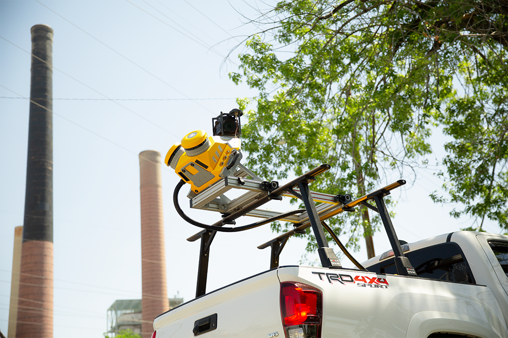
Mobile mapping refers to any geospatial data collection from a moving vehicle or platform. This includes mounting a panoramic camera or LiDAR scanner – or both – onto an automobile operating at highway speeds, a train or even a boat.
What is groundbreaking about Trimble’s mobile mapping equipment?
Trimble’s MX series is vehicle-mounted hardware and includes the MX7, MX50 and MX9. Some highlights of this tech include:
- The best IMU in the industry – Applanix’s AP60 is standard on the MX9 and an option on the MX50
- System weight and components that yield simple, quick and easy installation, especially compared to the other high-end systems on the market
- All Trimble MX mobile mapping units share a common software workflow
What are some ways you’ve seen mobile mapping used?
Perhaps the most impressive aspect is just how versatile and far-reaching the possible use cases are for this technology. One project that stands out was driving the MX9 to capture an entire city block in under 1 hour (including set up time); static scanning for this project took 10 days in the field! I then used a GeoSLAM Zeb Horizon handheld scanner to fill in any missing data, and we still didn’t come anywhere close to the time spent in the field before.
Some of the other use-cases I’ve encountered include:
- Panoramic image-only collection utilizing the MX7 for tens of thousands of miles of state-maintained roadways for automatic crack detection in a third-party AI program.
- Image capture to populate a GIS system of record, whether that be a municipality’s road network, a railroad’s network, or for damage assessment purposes pre-event for comparison against a post-disaster capture.
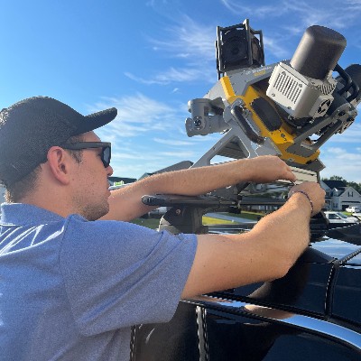
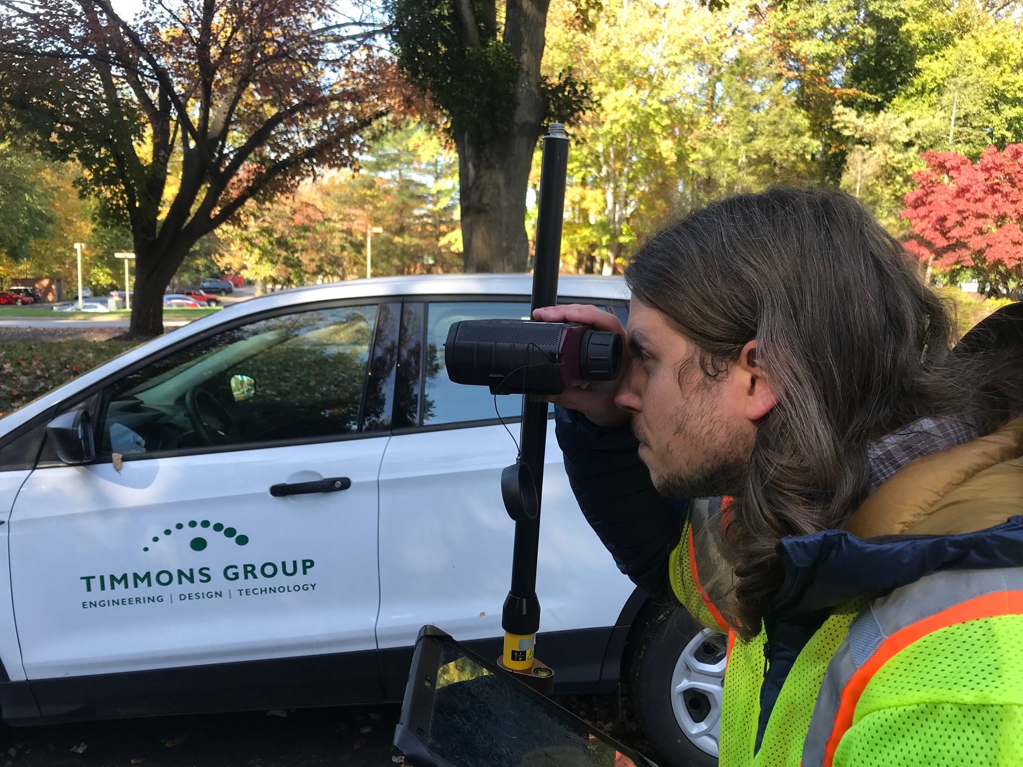
Chris setting up the Trimble MX9
Who could use mobile mapping?
Truly anyone who needs to document large-scale sites quickly and authoritatively would benefit from Trimble’s MX series gear. Traditionally, mobile scanning is leveraged on highway and other major road projects to generate engineering-quality road surfaces, but this tech can be used in so many other ways, such as for GIS asset collection, both large and small scale.
Be honest, what’s the learning curve like?
If you’re coming from a GIS perspective like I was, there are many new concepts to learn, but it is certainly doable. Surveyors and engineers, especially those used to terrestrial scanning and processing point clouds already, just have to get comfortable with trajectory processing. Anyone who is currently doing terrestrial scanning with Trimble scanners and processing the data in Trimble Business Center (TBC) should have a rather short learning curve.
Setup and operation of the systems for data capture is rather simple. Certainly, sound project planning is key, as with any project, particularly as far as setting enough ground control points to satisfy your project’s accuracy requirements.
What do you like about Duncan-Parnell’s new mobile mapping rental program?
Our rental program reduces the financial barrier of entry. It allows firms who might not be taking on massive DOT projects to still benefit from the tech on more granular projects. It also allows organizations that only need to capture data in short bursts, say for quarterly or annual reinspection, to spread out their hardware costs. We offer two rental pathways for Trimble MX series gear, giving organizations the flexibility to choose the program that best fits their needs, experience and timeline. We’ll ensure you have everything you need to be successful, from hardware, software and accessories, to training so your team can get the most out of your rental.
Interested in how Mobile Mapping can help with your next project? Contact our team to learn more!
-
 GIS & Mapping Webinar Series: Asset Tools & Innovations
On-Demand Webinars
GIS & Mapping Webinar Series: Asset Tools & Innovations
On-Demand Webinars -
 Building Brands Through Creative Signage
For nearly a decade, Duncan-Parnell has worked with The Splinter Group to help them bring their client's brands to life through creative signs and graphics.
Building Brands Through Creative Signage
For nearly a decade, Duncan-Parnell has worked with The Splinter Group to help them bring their client's brands to life through creative signs and graphics. -
 Engineering Firm Saves Time & Labor on Joint Use Inventory with TruPulse Rangefinding Technology
-
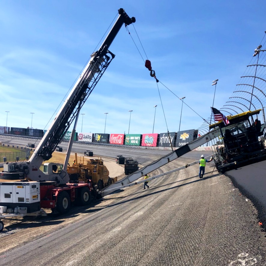 Atlanta Motor Speedway Gets a (Controversial) Fresh Repave with the Help of Trimble Tech
Customer Success Story
Atlanta Motor Speedway Gets a (Controversial) Fresh Repave with the Help of Trimble Tech
Customer Success Story