Tips for Choosing the Best Drones for Surveying
At Duncan-Parnell, we offer geospatial solutions for surveying, construction, data collection, and more. We know the importance of getting data that is precise, which is why we carry industry-leading tools and technology.
There are many types of commercial drone technology on the market today, which can make it hard to choose the right one for a project. Here are some things to consider when choosing the best drone for your surveying operation.
What to Look for in a Drone for Surveying
There are different styles of drones and different options that customers should know about before purchasing. To start, companies need to look for commercial drones. We can help find the correct drone for any project, starting by looking for the specific flight style of a drone.
Drone Style: Fixed Wing or Multirotor?
There are two main drone types: fixed-wing drones and multirotor drones. In selecting a commercial drone, it makes sense to choose the style that is appropriate for the conditions. Companies may need smaller, multirotor drones for worksites with smaller footprints, while larger drones may work more effectively in open spaces.
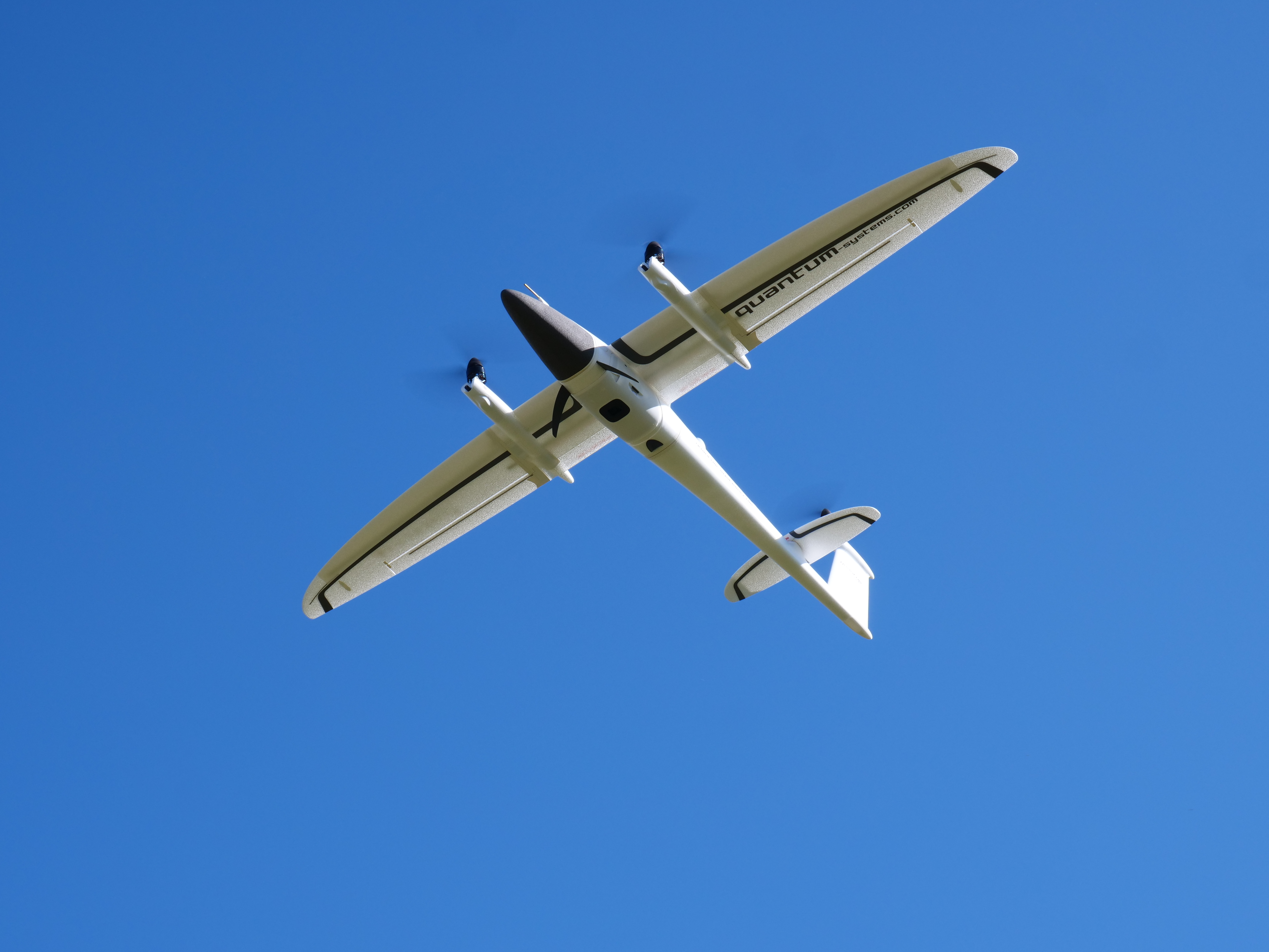
Fixed-Wing Drones
Fixed-wing drones generally do not hover. They need more space to take off and land, and they will make long, sweeping turns. A fixed-wing surveying drone is better for large areas where the drone has to stay in the air longer.
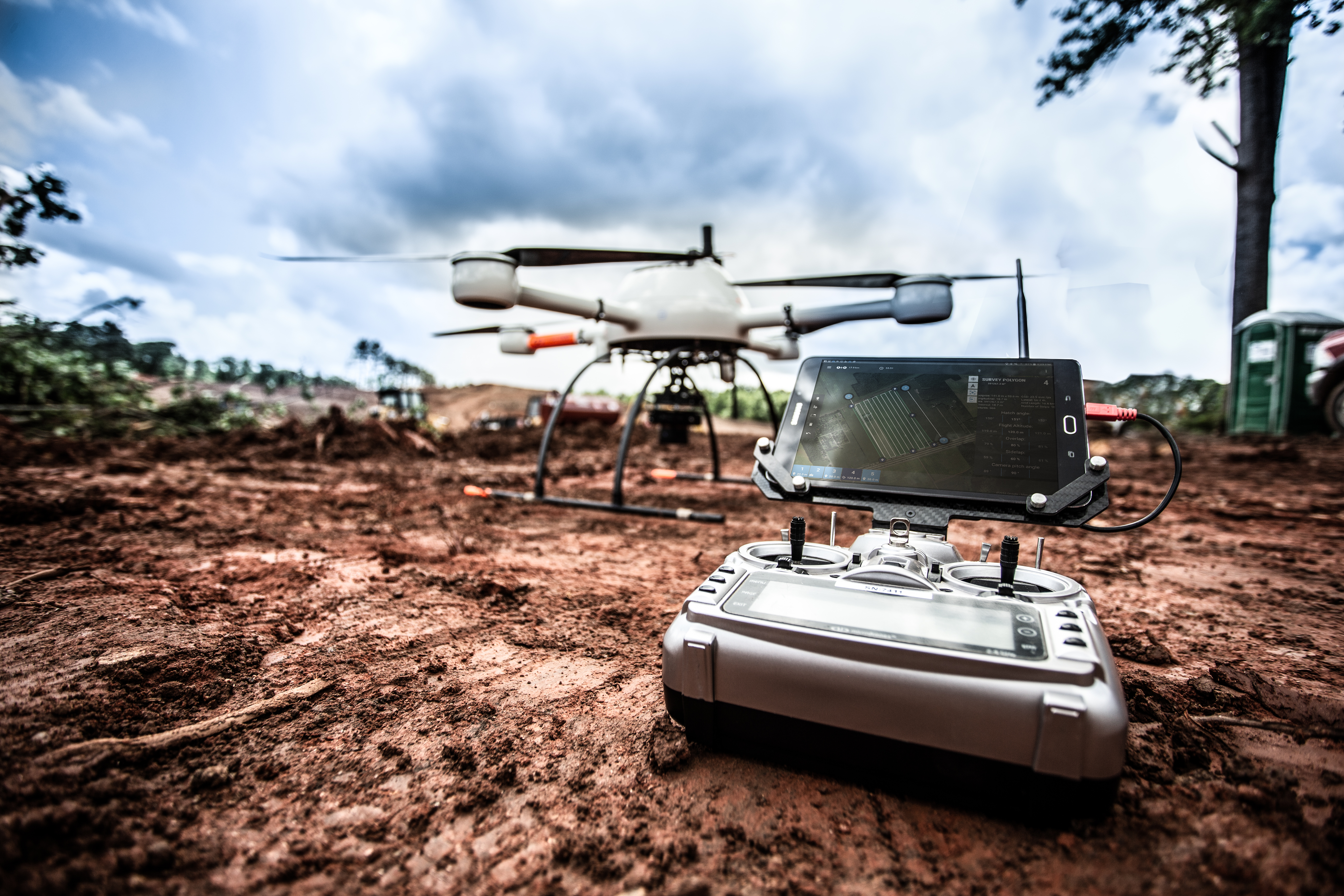
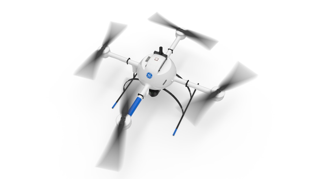
Multirotor Drones
Multirotor drones are slower than fixed-wing drones, but that may be appropriate when the drone technology has to be used in a smaller area. Multirotor drones have an advantage in that they do not need a runway when taking off or landing. It's also simpler for multirotor drones to descend or ascend vertically.
Camera Quality
It's important to select the correct camera for surveying when choosing a UAV (unmanned aerial vehicle). Usually, fixed-wing drones and multirotor drones both have quality cameras. It's necessary to select cameras that are accurate down to the last few millimeters to avoid errors during surveys. When selecting a camera, we have to look at the ground sample distance, or GSD, and resolution to determine the quality of images that will be produced. For example, a GSD of six centimeters means that the survey will be accurate within six centimeters. Additionally, we have to consider the megapixels. A 12MP camera is simply not going to create an image that is as good as a camera with 26MP, because the image is less detailed at the lower megapixel number.
Battery Life
When it comes to battery life, it depends on how long the drone needs to be in the air. For a single flight that has to last for hours, it may be a better idea to select a fixed-wing drone, since these are more efficient and stay up in the air longer on a single charge.
However, if there is a need for vertical accuracy, a multirotor drone should be chosen instead. The battery life for even a high-quality drone may only be around 30 minutes, though some, including models from Quantum-Systems, may get up to 90 minutes of fly time.
Size
Commercial-grade drone manufacturers produce several sizes of drone technology. The smallest may be no more than six inches in size, while the largest could be four feet or more in length or width. The weight of drones may start at just a few hundred grams and go up to dozens of pounds.
Drones are ranked into four size categories: Micro drones, mini drones, small drones, and full-size drones. For the most features, full-size drones are usually the better option. Micro or small drones, however, can be useful if space is limited.
Who Are the Top UAV Manufacturers for Surveying?
Quantum-Systems and Parrot are the leaders in this space. Additional manufacturers that produce top-grade drones and UAV include:
- Microdrones
- DJI
- SenseFly
- Coptrz
Each of these companies have focused on drone technology and produce drones for surveying, mapping software, 3D modeling technology, and more. Instead of deciding on a drone based on the company, it may be a good option to look at a few specific models that are used throughout the construction and surveying industries.
Best Drones for Surveying
Professional drones are the best for surveying. We suggest taking a look at some of the following drones on our website.
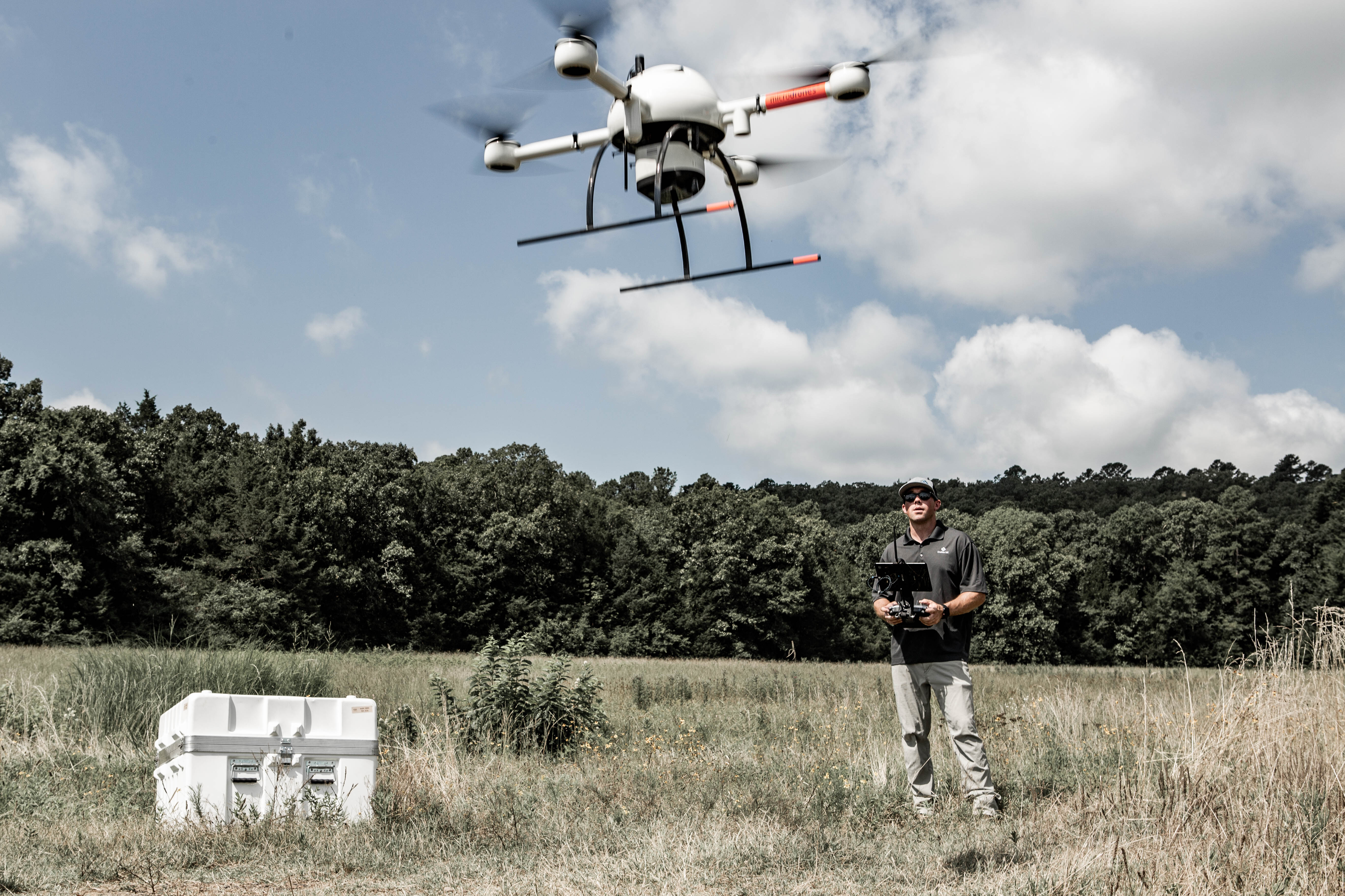
Microdrones mdLIDAR1000LR:
This surveying drone has a longer range, allowing it to cover more ground while in the air. It has a fully integrated system for producing 3D pointclouds. It is specifically designed for professional geospatial data collection. To make it easier to use on site, it has remote-free tablet flight execution. For quality images, it has a high resolution LiDAR and camera for up to a 90 degree field of view.
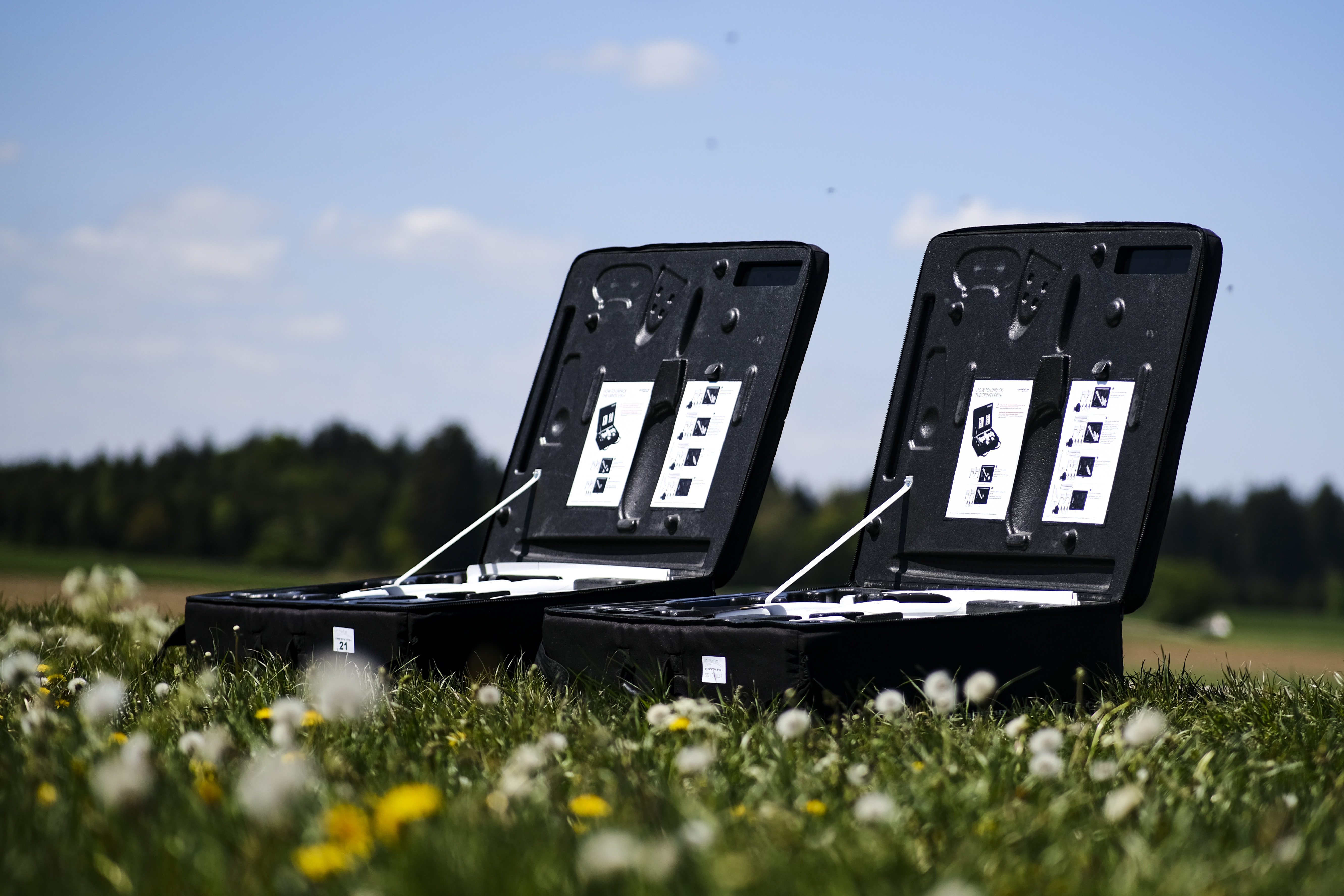
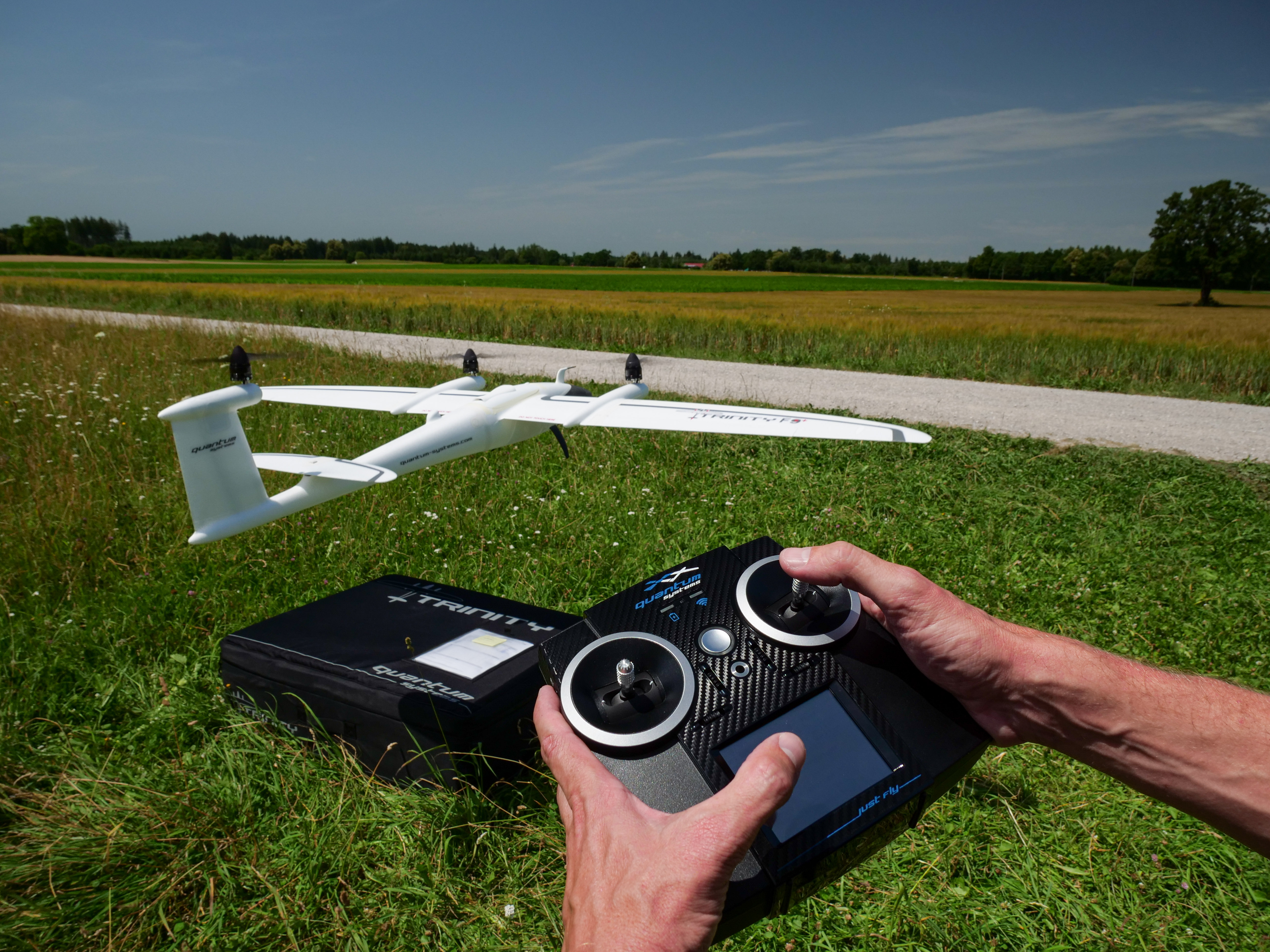
Quantum-Systems Trinity F90+:
Quantum-Systems created the Trinity F90+ as a fixed-wing model that has an extended flight time of up to 90 minutes. It has the longest flight time in its class, making it ideal for long-range projects. The unit comes "ready to fly," and has space in its case for up to two additional battery packs, a tablet PC, and other accessories for the project.
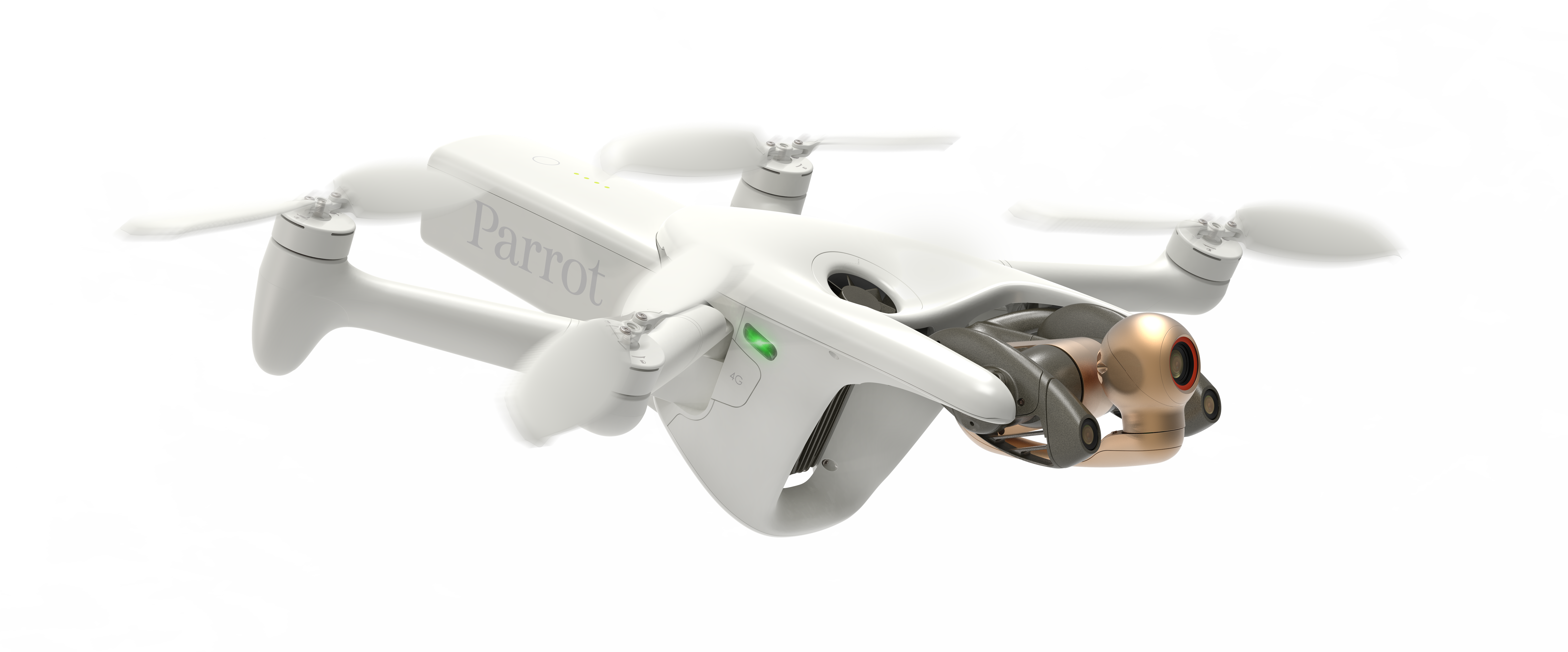
Parrot ANAFI AI 4G Robotic UAV:
Small in size, this ANAFI AI UAV has a 48 MP camera to capture detailed images as it hovers. Interestingly, it has 4G internet connectivity with worldwide compatibility and the ability to stay connected regardless of the range. It produces survey-grade results with autonomous photogrammetry and has built-in cybersecurity to protect a project's data.
These three drones are just a few that are making waves in the market and that companies may want to try first when developing projects that could benefit from drone surveying.
The Benefits of Purchasing Your Drone from Duncan-Parnell
Here at Duncan-Parnell, we know that none of our customers are exactly the same. We have experts waiting to help our customers choose the right tools for their needs.
We also make sure to offer a variety of payment options to help businesses at different stages of growth. Right now, we accept the following forms of payment:
- Credit card
- Duncan-Parnell in-house flexible leasing/financing
- Cash/check
- 30-day accounts
When our customers buy from us, they get the benefit of decades of experience combined with helpful solutions for their companies.
Training
All of our branch locations have experienced account representatives that help customers with their needs. They're trained on different industry solutions such as surveying, construction print, construction management software, and wide and small format printers.
Support
For those who need support, our team is here to help. We offer both maintenance and technical support to help you implement your new drone into your business seamlessly. We also carry parts, supplies, and accessories for products already sold. Our business has over 75 years of experience, making sure our customers get the best support and service every time.
Ready to purchase a drone for your surveying operation? Shop now, send us a message or call us at 1-800-849-7708 today.